Aerial Intelligence
for Mission-Critical Operations
Aeris Motus delivers advanced unmanned aerial systems and data-driven drone services for industrial, security, and government applications.
What We Do
From platform procurement to field deployment and data delivery — every engagement runs to a single operational standard.
UAV Procurement & Supply
Sourcing and delivery of UAV platforms, components, and mission-ready systems through established international supply channels.
Explore service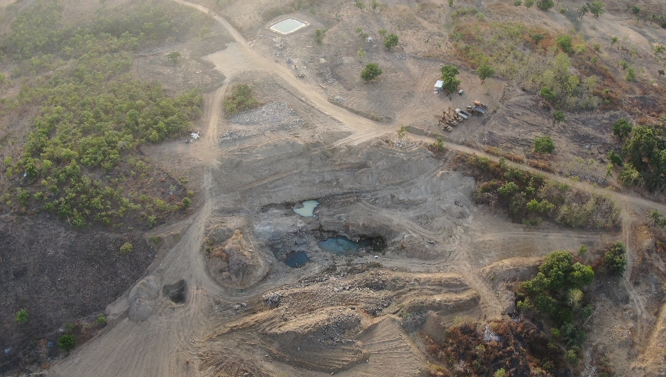
Aerial Surveying & Mapping
High-accuracy geospatial data using fixed-wing and VTOL platforms for large-scale terrain analysis.
Explore service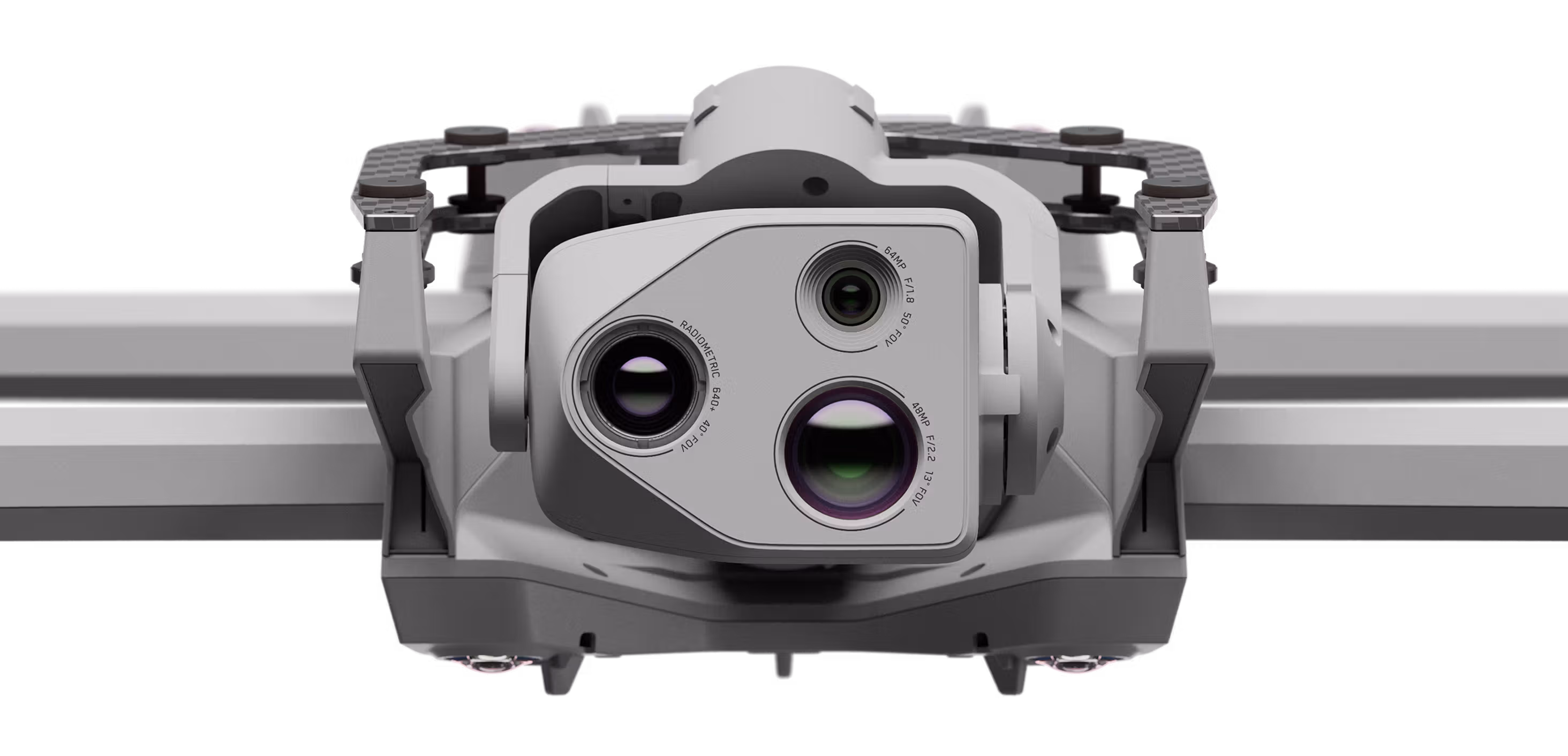
Infrastructure Inspection
Pipeline surveillance, flare stack monitoring, and facility inspection for oil & gas operators and critical infrastructure.
Explore service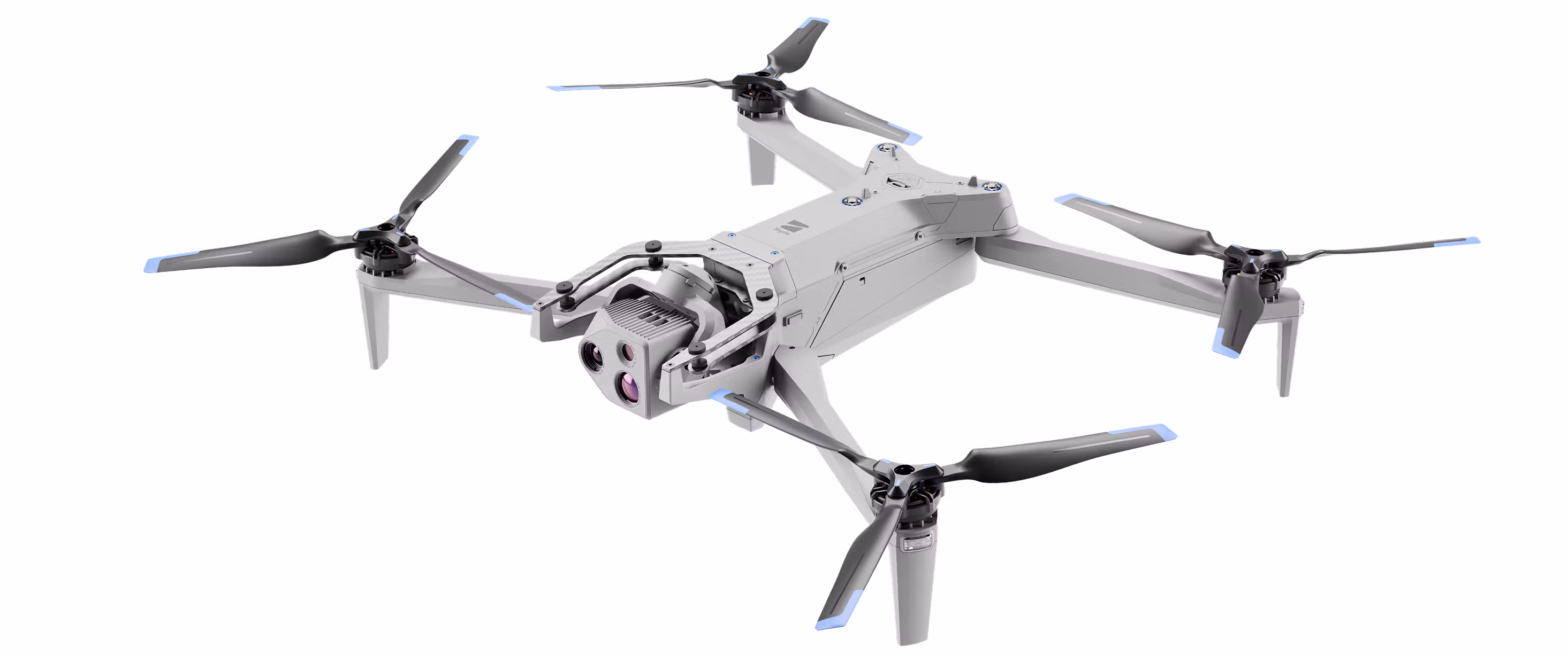
Security & Surveillance
Long-range monitoring and reconnaissance solutions for perimeter control and situational awareness.
Explore service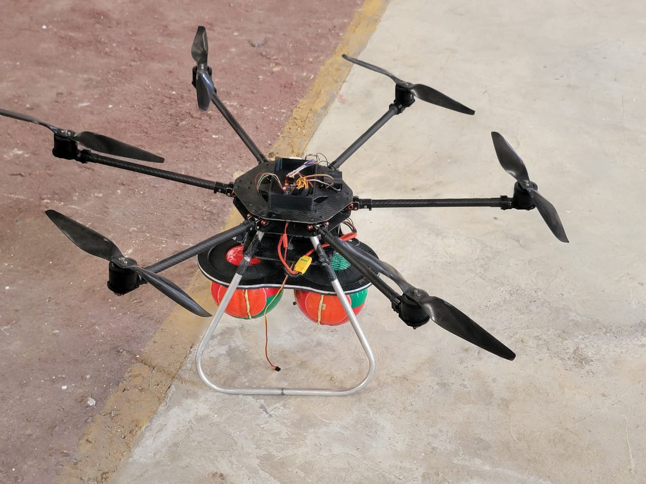
Agricultural Drone Operations
Heavy-lift platforms for precision spraying, crop monitoring, and large-scale agricultural optimization.
Explore service- Payload
- Custom Integration
- Endurance
- Mission-Tuned
- Support
- Full Lifecycle
- Training
- Operator-Led
Systems Integration & Support
Tailored sensor integration, endurance optimization, and lifecycle support for mission-specific deployments.
Explore service Engineering Precision.
Delivering Intelligence.
Aeris Motus Solutions Limited is a provider of enterprise and tactical unmanned aerial systems, delivering reliable aerial intelligence for complex operations.
Our team of engineers and field specialists combines deep technical expertise with advanced drone technology to support industrial, security, and government clients.
From long-range mapping missions to real-time surveillance operations, we focus on accuracy, safety, and performance in every deployment.
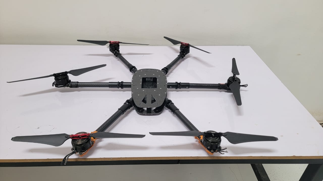
 Enterprise Airframe
 Advanced UAV Platforms
We deploy a diverse fleet of high-performance unmanned systems tailored to mission requirements.
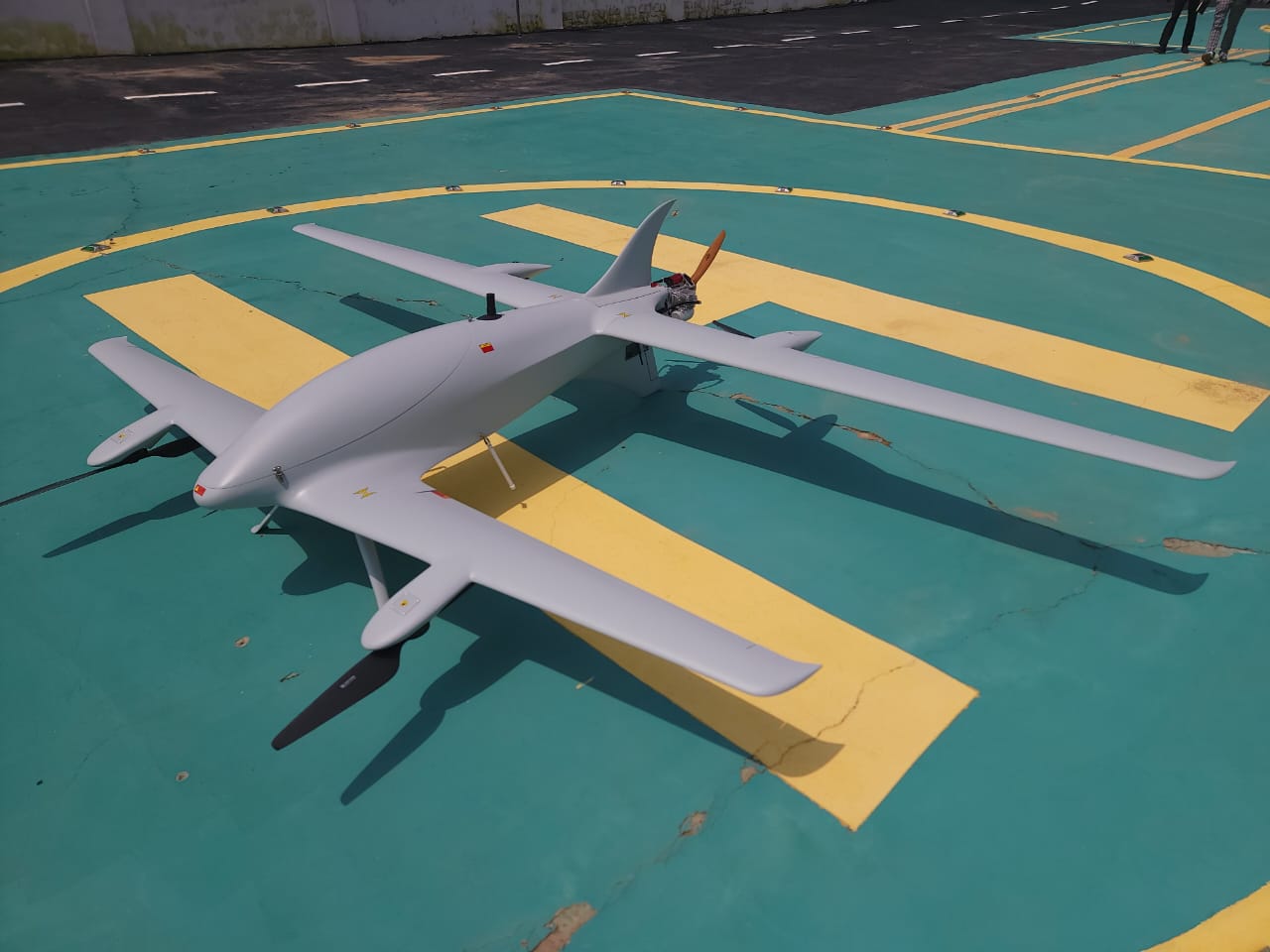
Fixed-Wing & VTOL Systems
Long-endurance platforms for mapping, surveying, and wide-area coverage.
- Platforms
- Dolphin 2600 · Cross Wind
- Mission
- Mapping / ISR
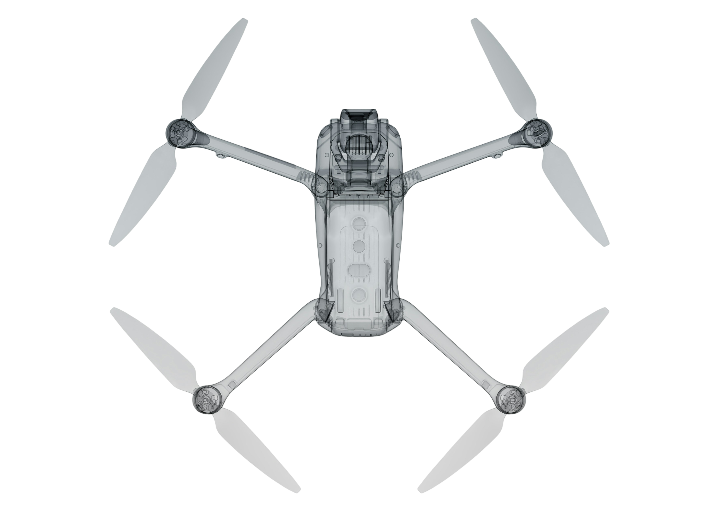
Multi-Rotor Systems
High-mobility drones for inspection, surveillance, and precision operations.
- Platforms
- DJI · Aurelia
- Mission
- Inspection / Capture
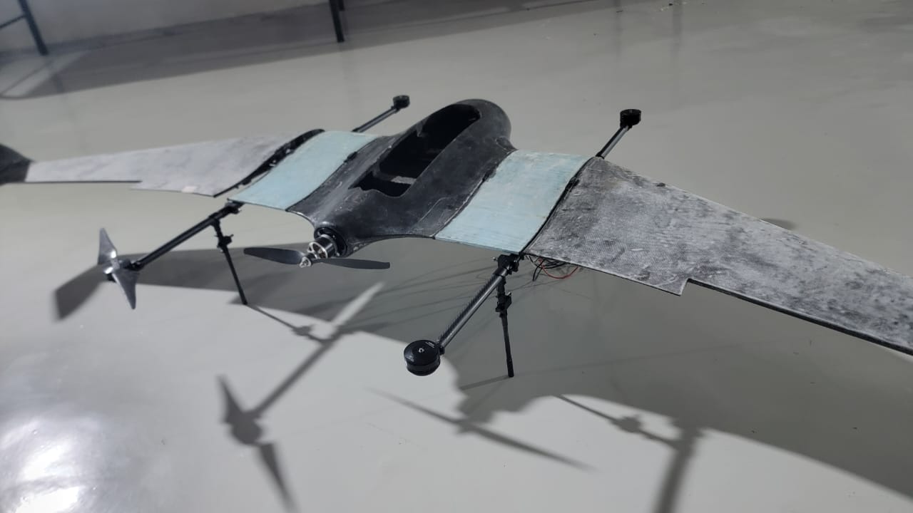
Specialized Systems
Tactical, agricultural, and high-payload drones configured for specific mission needs.
- Platforms
- Skydio · Parrot · ABZ
- Mission
- Tactical / Agri
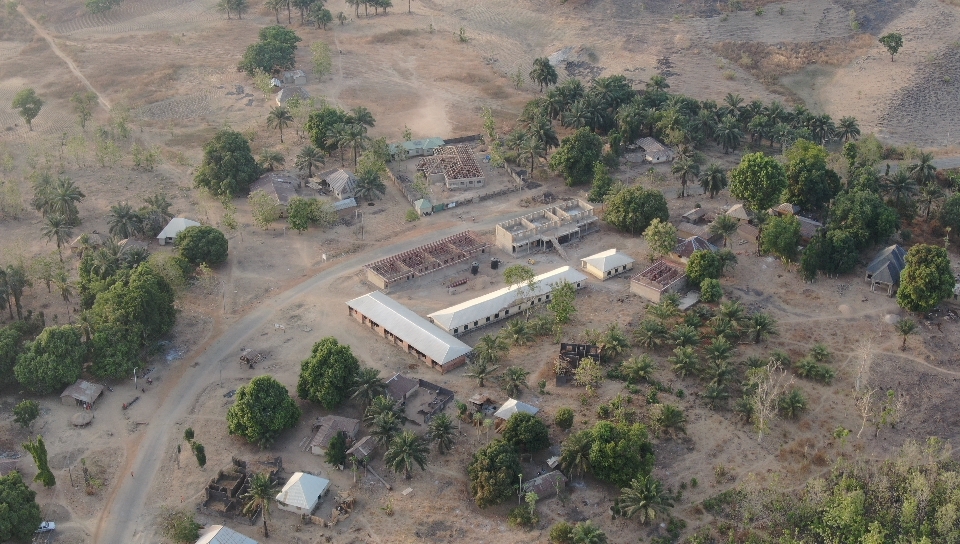
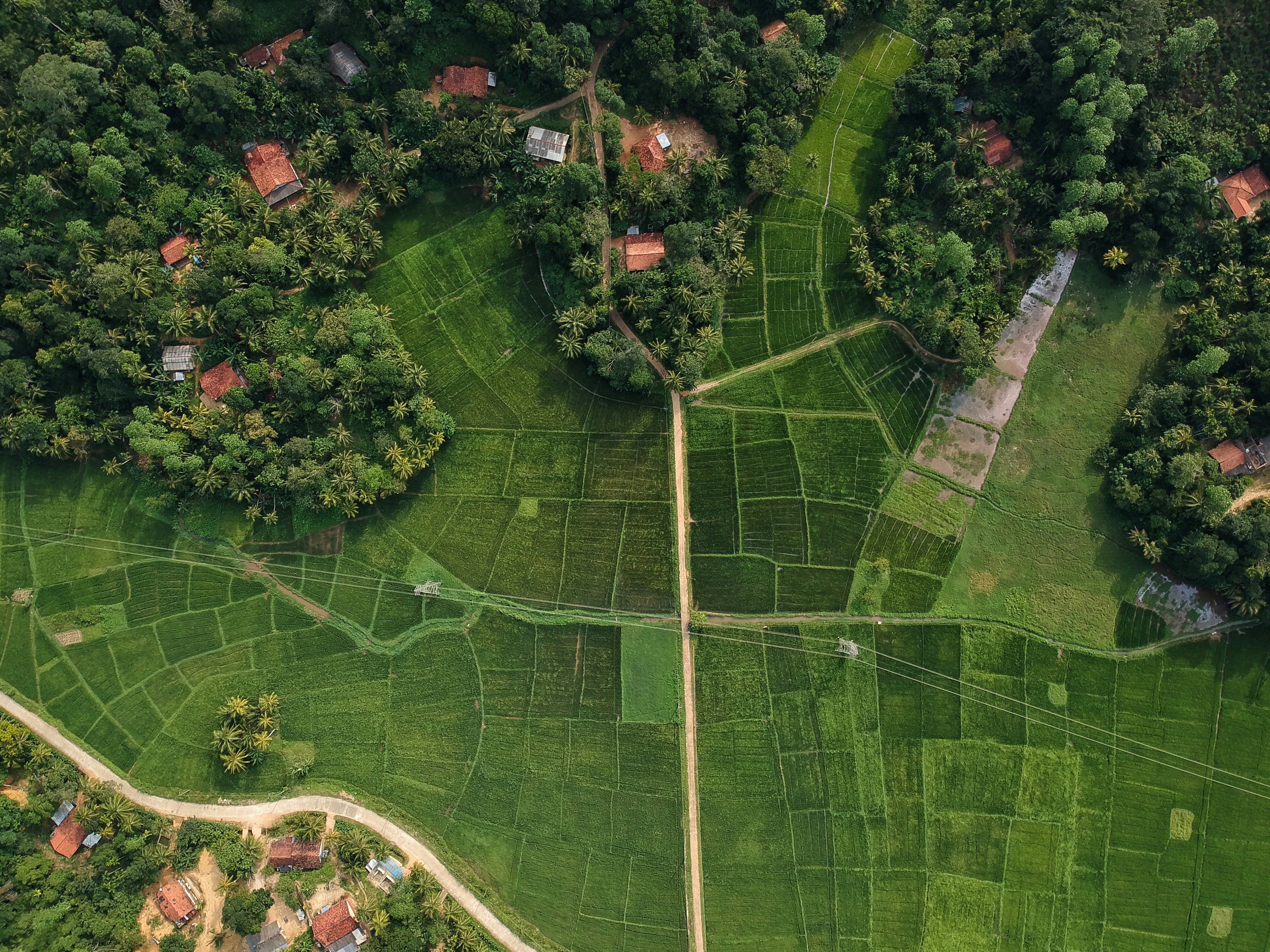
Real Sorties. Real Deliverables.
A small sample of recent captures — surveying, inspection, and mapping missions flown across live sites.